Claregalway, County Galway
Where the story begins…
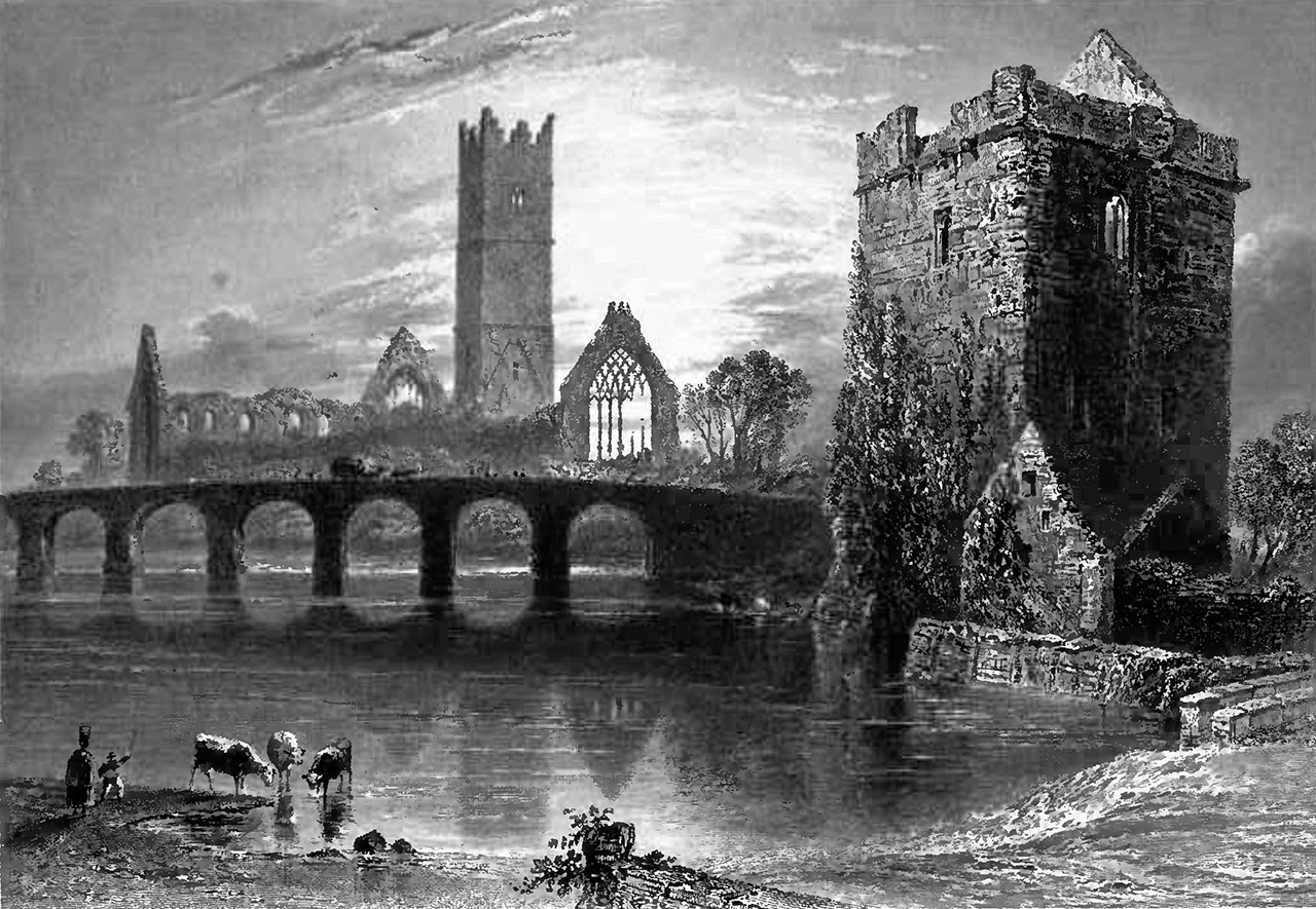
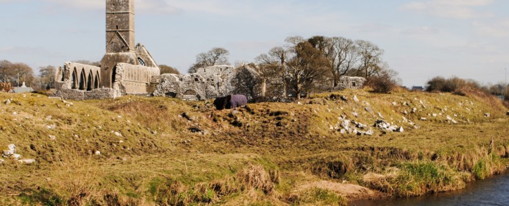
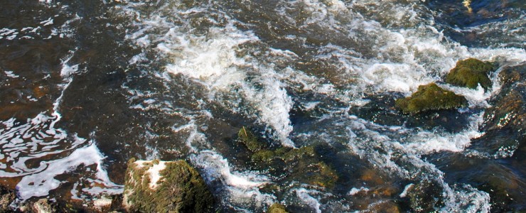
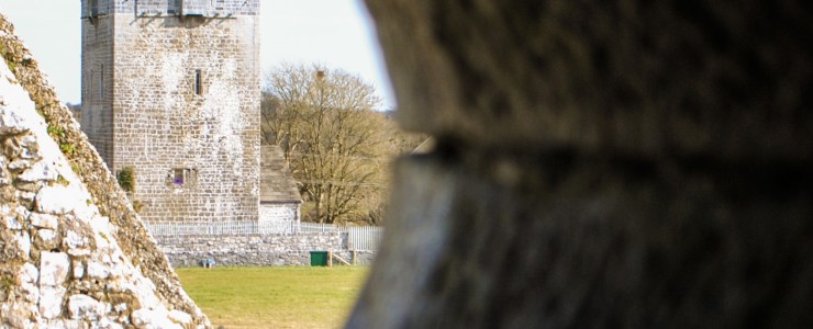
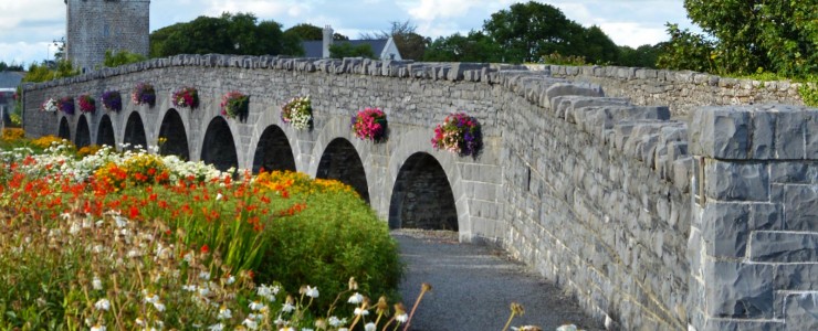
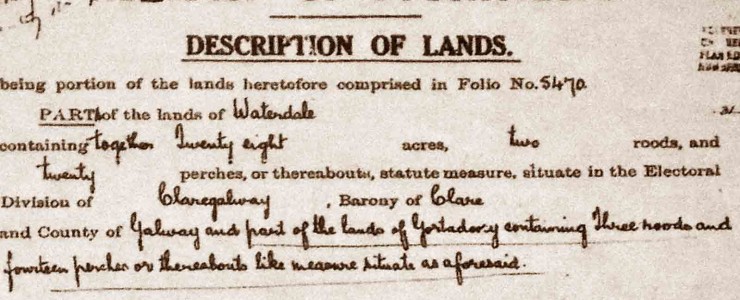
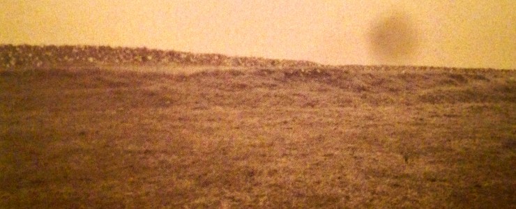
An archaeological dig in 2011 revealed that a settlement in Claregalway (around the site of the Castle) was the beginning of urbanisation in the county of Galway. It would appear that even a millennia ago, Claregalway was bustling with human activity. The famous Claregalway Friary—the first Franciscan Friary in Connacht—was built in the early 13th century, establishing Claregalway as a religious hub for east Galway. The beautifully restored Claregalway Castle has withstood many battles over the centuries, helped by its strategic position on a curve in the River Clare. Boasting a recently refurbished western face, the magnificent Nine Arches no longer bridge the river, but remain an attractive landmark in Claregalway village.
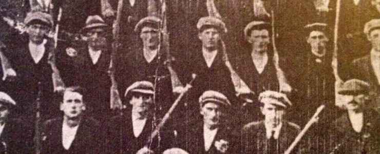
Modern day Claregalway is a vibrant hub, still bustling. As described by artist Alan Hounihan, “any landscape is a work-in-progress subject to the continual processes of physical change. Even a farmed or managed landscape is a constantly changing canvas, a palimpsest shaped by human needs and work to which each generation adds a new layer.” The ‘layer’ added by the 21st century community in Claregalway is colourful, bustling and optimistic. With the growing urbanisation of Claregalway, and the covering of layers of history with modern amenities however, it is very easy for the unique past of Claregalway to be forgotten or lost. The History of Claregalway section below has been curated by Claregalway Historical & Cultural Society and we welcome any and all contributions.
History of Claregalway
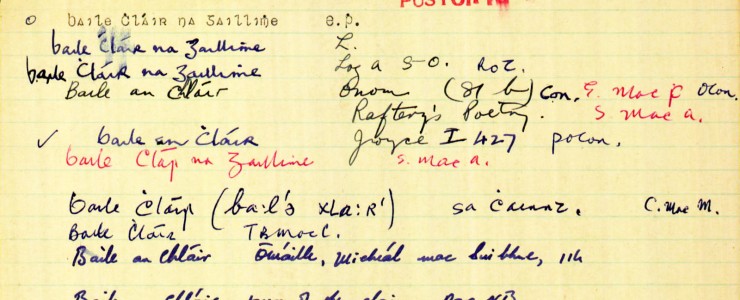
In 1999, Claregalway Historical & Cultural Society initiated a FÁS sponsored scheme which began the enormous task of documenting Claregalway’s local history, which is provided here with kind permission from the society.

Fifteen years ago in Claregalway
These local stories are taken from the December 2009 Nuacht Chláir archives. Check out the full archive, dating back to 1996, here.

There was deep and profound sadness in the Claregalway area as the news spread on Friday morning of the untimely passing of Claregalway Parish Priest, Very Reverend Noel Canon Mullin. A simple man he was Fr Noel to everyone. Having replaced the long serving parish priest the late Canon Gerard Callanan, there was much apprehension… Read more »
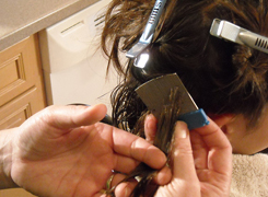
Head Lice: Infestation with head lice is common and affects schoolchildren usually at ages 5 to 11 years. Girls are more likely to be affected than boys. Transmission is by head to head contact, as the lice cannot fly or jump but can crawl quickly. Sharing of personal items such as brushes, combs or hats… Read more »
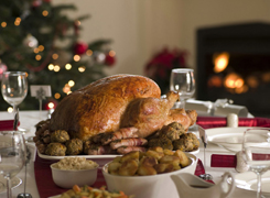
Dressed for dinner The Christmas dinner will feel even more special, when the dining table is dressed for the occasion, so bring out the crystal, polish the silver and set the scene for a great feast with family and friends. It is the perfect time to go to town with festive centrepieces and decorations. You… Read more »
The Galway Family Sunday Market opened a few weeks ago in Claregalway Corporate Park and has attracted huge crowds since. The Market was launched as a fun family day out and has already become a weekly event for families in the area. The Market runs every Sunday in Claregalway Corporate Park from 10am to 5pm…. Read more »